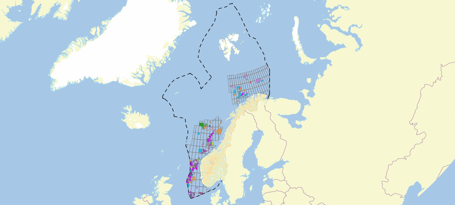
Sector I
Norwegian sectors — North, Norwegian & Barents Sea's Oil & Gas Fields List
Click below for the interactive map
Appendices
Sector I
Click below for the interactive map
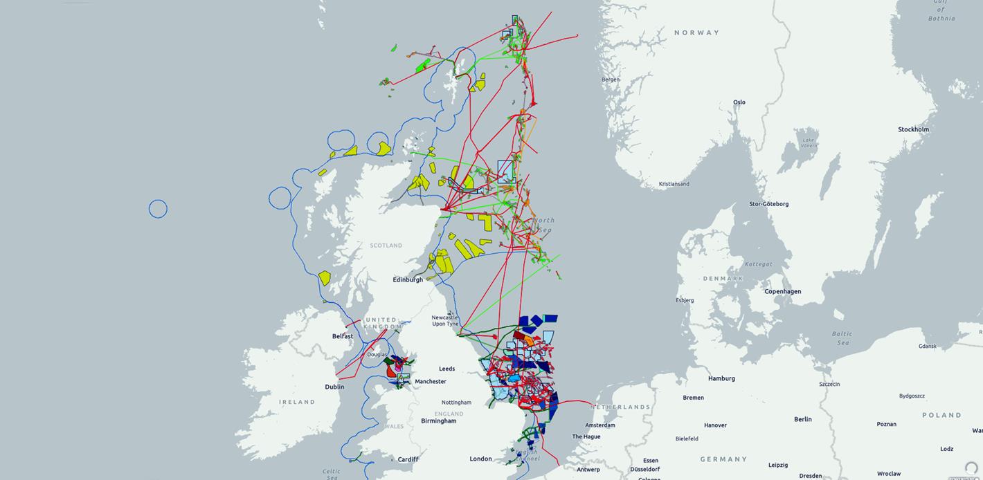
Sector II
Click below for the interactive map
External interactive maps are hosted by Norskpetroleum (Norwegian Petroleum Directorate) and the UK North Sea Transition Authority. Both links open in a new tab.

A four-volume autobiographical work spanning continents, disciplines, and decades. Editorial edition, published in print and online.
